Historical Map downloads of Ireland – Half Price!

Cassini’s Irish downloadable maps from the mid to late 1800’s.
Cassini Historical Mapping of Ireland

From only £4.49! One week only. Offer available until 16th Feb 2015

• Instant map downloads of any area.    • Including personal inscription.
• Available for 3 historical OS series.     • Highly customisable.

Cassini is delighted to offer you our stunning range of historical Ordnance Survey maps of Ireland. Simply search for the area you are interested in, buy and download the PDF.

Whatever your interest in the past our historical maps are invaluable works of reference. Ideal for research, or print and frame for a personalised decorative map centred on the location of your choice.

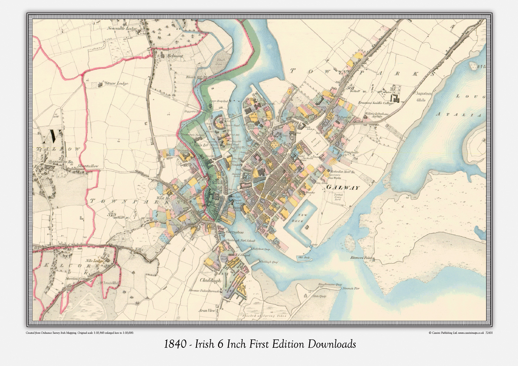
Irish 6 Inch First Edition Downloads –  c. 1840’s
Ireland First Edition Downloads – c. 1860’s
Ireland Third Edition Downloads – c. 1900’s

Visit Cassini and find maps of Ireland.

Map of the week – Moneygall the birthplace of Falmouth Kearney

In 1850 Falmouth Kearney, a maternal great-great-great grandfather of Barack Obama, emigrated from the Irish village of Moneygall in County Offaly to New York City before eventually settling in Tipton County, Indiana. Kearney’s daughter Mary Ann, the youngest of his ten children, was the grandmother of Stanley Dunham, President Obama’s maternal grandfather.
obama3
(map shown: Irish 6 Inch First Edition – 1840) 

When Kearney, with his sister Margaret Cleary and her husband William, set sail for the United States they left behind a country plagued by the potato blight that had destroyed families and livelihoods and left people starving. From the 1840s to the end of the 1850s, about 1.7 million emigrants moved from Ireland to the United States. In 1841 the population of the entire parish of Moneygall was approximately 8,500. Today the population is about 1,600.

Moneygall is to be found on the border of counties Offaly and North Tipperary. The name (Muine Gall in Irish, meaning ‘thicket of (the) foreigners’ ) is thought to come from the remains of Viking raiders who were slain and buried nearby after a failed attack on the great annual market at Rosecrea in 942.

Cassini has historical Ordnance Survey maps of Ireland. Simply search for the area you are interested in and buy.
Choose from
Irish 6 Inch First Edition –  c.1840s
Ireland First Edition –  c.1860s
Ireland Third Edition –  c.1900s

Printed Maps only £15.95
Downloadable Maps £8.95